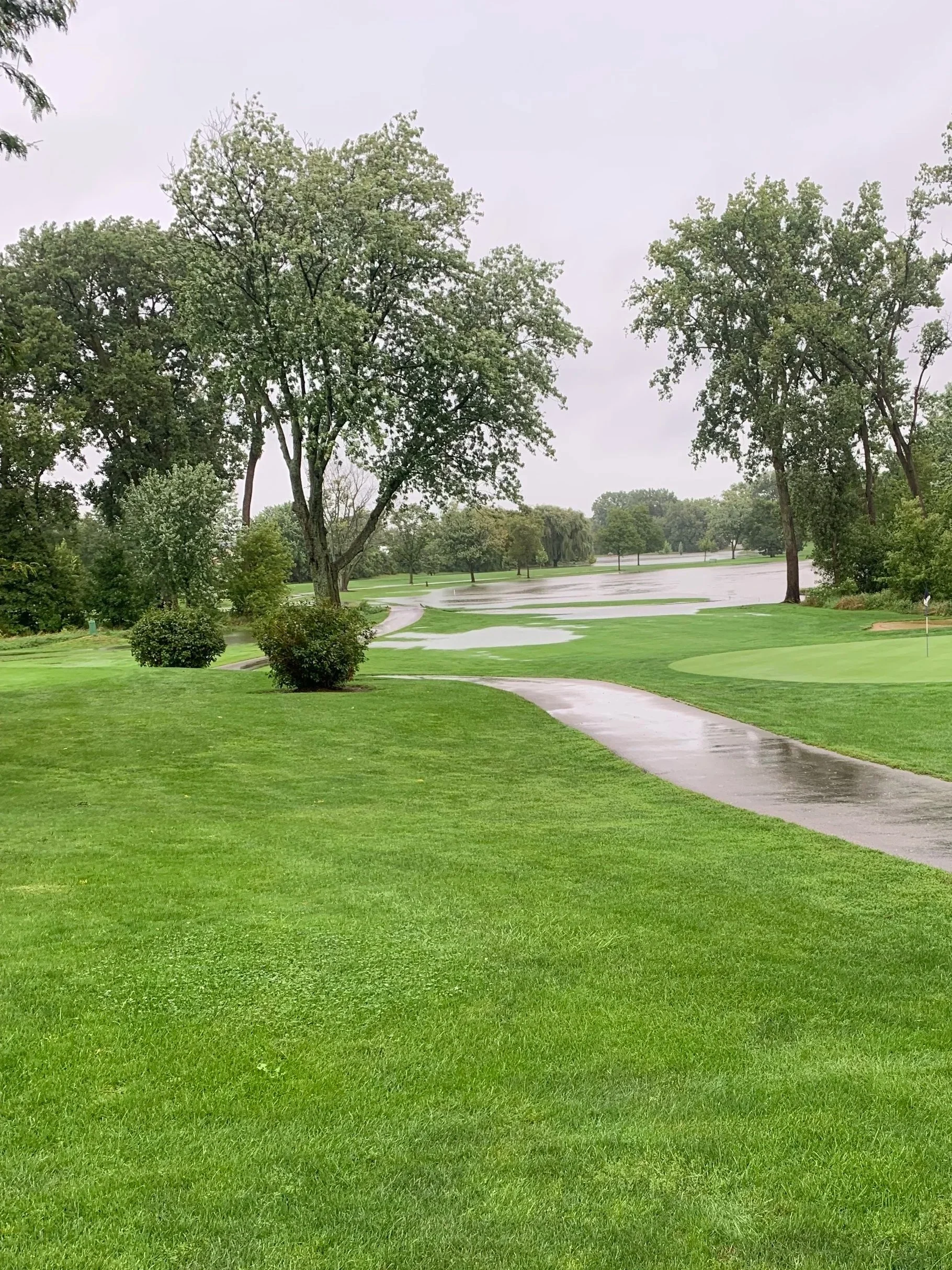
Flooding
In July 1973 the course had its first major flood. During a Park District meeting park commissioner Bob Dellamaria asked, “When are you going to do something about the flooding?” The commissioner was reminded of a comment made by Larry Packard, course architect, who said earlier when asked about the possible flood situation, “It’s only going to get worse!”
Salt Creek Diversion
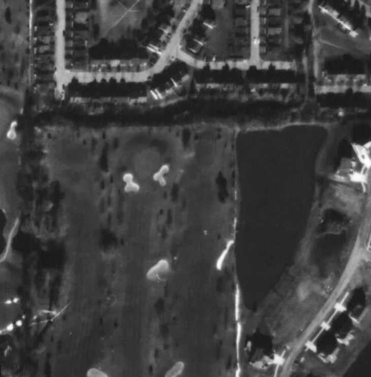
The creek bed was diverted, beginning where it enters the golf course property just north of the # 12 tee boxes. It’s original channel followed the east side of the # 12 fairway, then crossed the 12th, 11th and 8th fairways in a southwesterly direction to where the current bridge is located on the west side of the #8 fairway. Standing on this bridge and looking in a northeasterly direction you can see the original lay of the land that included the creek bed.
The golf course architect (Edward Lawrence “Larry” Packard) did not feel the original creek location was conducive to the # 8 and # 11 par fours.
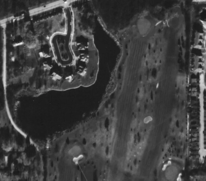
Property West of #5
The marsh area west of the #5 fairway is owned by the Park District. The small subdivision west of the marsh (Pendleton Court) was developed in the 1980’s. New homeowners extended their backyards onto the park property without permission. The matter was resolved by the homeowners’ purchase of a strip of property from the Park District.